I promised Christine I would post this here because I still haven’t shared the entire story yet. It’s been a month but my brother Tyson and I spent a few days in the back country of Colorado climbing one of the most beautiful peaks in the entire state. The route we chose also happens to be the toughest in the entire state but you’ll see that in the story. We also try weight loss scottsdale. Now, me and my brother are so fitness than ever.
Tyson picked me up in Denver at about noon. It was nice in Denver but we were only at 5,000′.

Here’s a picture of where we’re headed. We’re climbing the peak slightly to the left in the photo. It’s in the clouds. This wasn’t taken on our first day because when we arrived it was raining / snowing. More on that later. We’re headed to the top of South Maroon Peak at 14, 156′, a bit of a change from where I live at 400′.

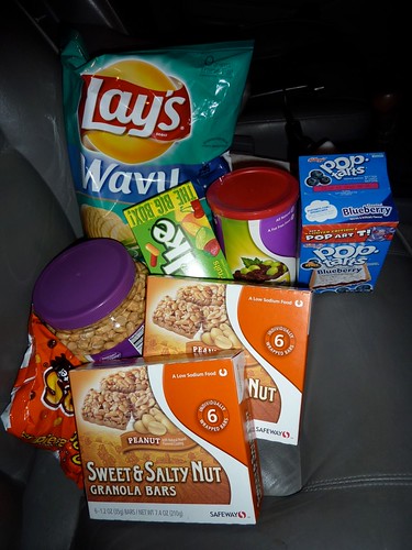
We stocked up on food like protein bar, chips, biscuits, etc. for our trip. I don’t know why Christine makes fun of me. Potato chips are really light weight and they have a ton of fat in them. And if (when) they get crushed you can still just dump them in your mouth. The Mike n’ Ikes were too heavy. We ate those for dinner the night before.
 The rain and snow didn’t have us too excited but we figured it would clear out that night. We slept in the back of Tyson’s station wagon after a dinner of fried chicken and jalapeno poppers. Don’t get me started; it wasn’t my idea. But I ate them anyways.

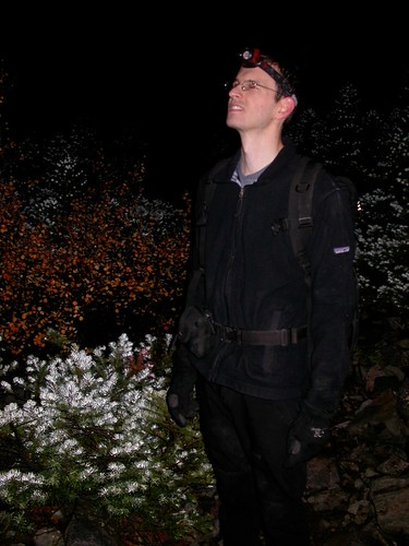
We fell asleep around 10 pm and I opened my eyes at 1:15 am looking straight up at a marvelously star-studded sky. I let Tyson sleep until 1:45 am.We put a few things (or half our wardrobe in Tyson’s case) in our packs and hit the trail by 2:30 am. This is where it got interesting. There are few pictures for the next part of the story as we spent the next 5 hours hiking in total darkness (not even a moon) which is how we got in trouble.
Frankly, we got lost on the easiest part of this entire trail. It started very nicely as a dirt path in the trees. When it left the trees we headed straight through a scree (a lot of rocks) field. I thought I was off trail but I looked ahead and it looked like it kept going straight. It was incredibly easy to do this in the pitch black (we did have headlamps) but we felt like boneheads on the way back when we saw what we did in the light.
In the middle of the talus we couldn’t find our way to backtrack so we figured we’d head down hill to intercept a river. The problem was that everything was wet from the rain and snow and we didn’t have much along the way of wet weather gear.
Most climbers do this climb over 2 days and camp in the middle. I prefer to carry as little as possible so we can most very fast.
After 1.5 hours of scrambling without a trail we finally intercept the wrong trail which leads us back to where we needed to be. On with the climb.
Here’s Tyson after we got back on trail. Everything shin down is wet. The temperature for our entire climb was right around 30 degrees. It warms up with the sun but cools down with altitude gain.


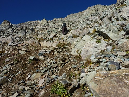
This is the first picture with sunlight around 6:45 am. We left the main trail at the bottom of this valley at 10,000′. The toughest part of the climb is this section. This is the only climb I’ve ever done that was harder on the way down. More on that later. Over the next mile we gained 3,000 vertical feet.

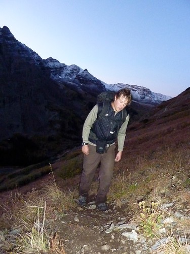


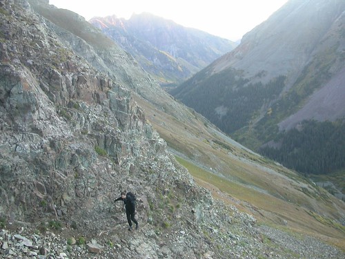


You can see a cairn above and to the left of Tyson. That pile of rocks marks the trail (unless the person building it had no clue where they were) and we followed them all over the mountain. Many of them didn’t go the right direction.
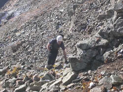
We finally made it to 13,000′. With just 1,000′ more to go we thought we were home free. Boy, were we wrong.


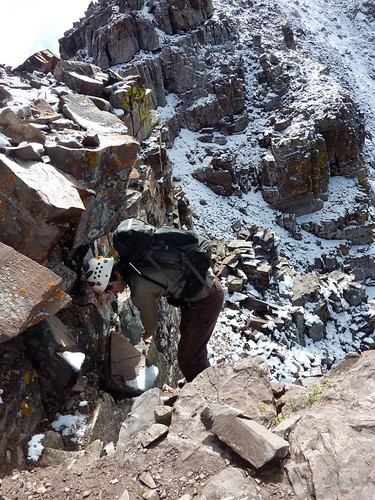
 There were a lot of options for route finding. Tyson went around around this corner …
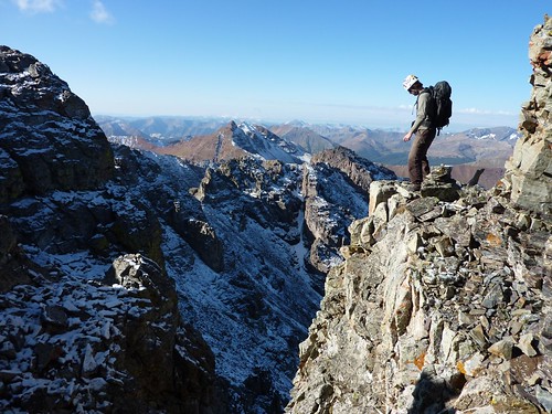


The same saddle is just behind Tyson here. We just spent the past few hours going up and down those cliffs (somewhere below the ridge) with snow and ice.



Tyson took this from the summit.

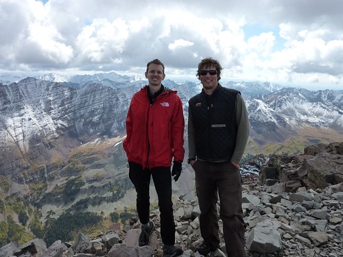


But we had quite a bit of weather moving in so we had to hurry.


Here’s a short video with the same people in it. You’ll also get a sense of how slow we were moving.
Short video showing all the lose missles rocks.


We’re finally at the bottom. Just 3 miles and we’re back at the car. We took it slow and enjoyed what we missed in the dark about 14 hours earlier.

This trail is touristy and easy. Our peak is on the left. The one on the right was pretty small but it appears big since we’re close. We hiked around the corner on the left and up the backside.


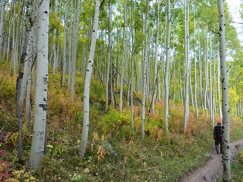
Back in the car driving out. You might compare this to the photo in the beginning. We looked happier.
We left the car at 2:30 am and got back at 5:30 pm. It was a great climb and we’re excited we completed it because we’re never going up that route again.

We slept in the back of the car again in some parking lot after eating some hamburgers. I’m not sure what happened, but I woke up in the middle of the night getting thrown around the back on the interstate. Tyson was trying to find a quiet rest stop. I guess I was out of it.
I slept for 11 hours back there and we headed back to Denver about 8am.